

1
Feature Story
A ‘ChatGPT’ For Satellite Photos Already Exists
Jul 22, 2023 · defenseone.com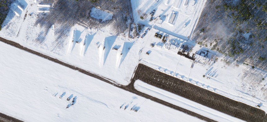
The National Geospatial-Intelligence Agency (NGA) is also looking to develop similar capabilities and has taken control of Project Maven, the Pentagon's flagship AI program for image analysis. The agency is experimenting with AI programs that integrate large language models to allow analysts to ask and answer specific intelligence questions. The development of these tools could significantly shift strategic advantage on the battlefield.
Key takeaways
- Synthetaic, an AI company, has developed a tool called Rapid Automatic Image Categorization (RAIC) that can find virtually any large object in any satellite photo of the Earth within a day.
- RAIC was successfully used to trace the origins of a Chinese weather balloon in a matter of days, and the company aims to further reduce this time to less than 24 hours.
- The tool is part of a new class of AI technologies that do not require a massive, labeled dataset to generate an understanding of what to look for, and can be taught to look for specific objects based on a single hand-made drawing.
- The National Geospatial-Intelligence Agency (NGA) is also looking to develop similar capabilities and is experimenting with AI programs that integrate large language models to allow analysts to ask and answer specific intelligence questions.