

1
Feature Story
AI Helps Researchers Dig Through Old Maps to Find Lost Oil and Gas Wells
Dec 04, 2024 · news.bensbites.com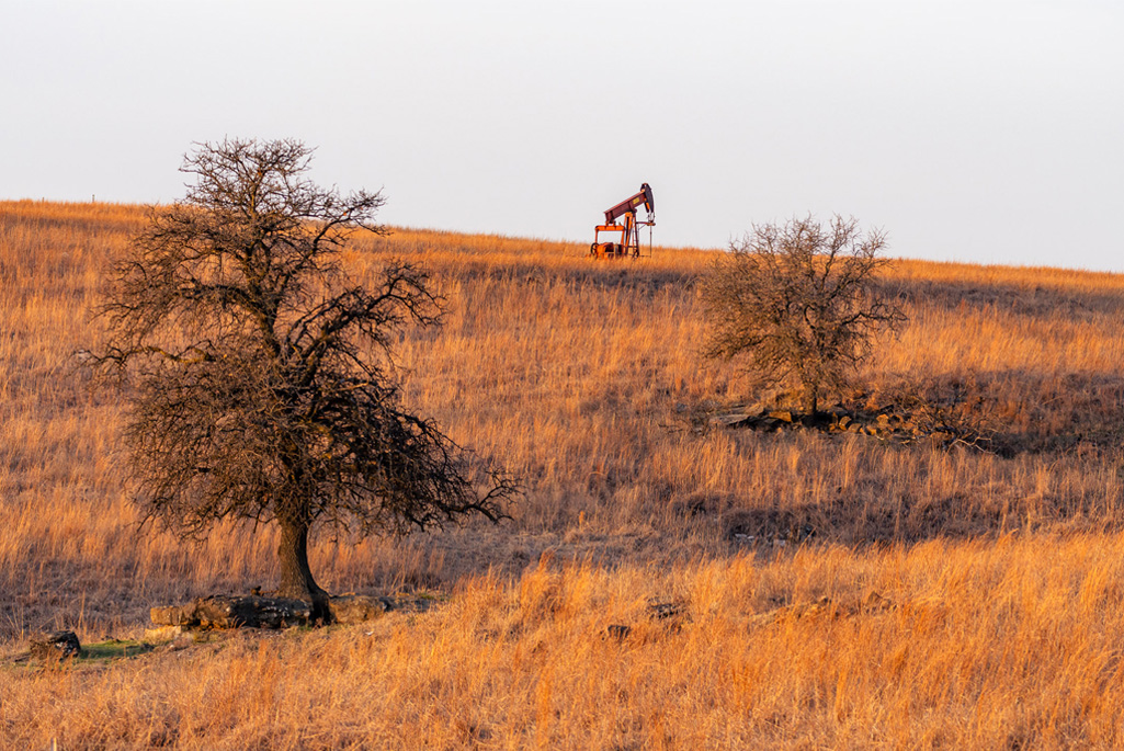
This research is part of a larger project called the Consortium Advancing Technology for Assessment of Lost Oil & Gas Wells (CATALOG), which aims to improve methods of finding wells, detecting and measuring methane, and prioritizing wells for plugging. The project also involves the use of drones and low-cost sensors to detect and quantify methane emissions. The ultimate goal is to create affordable tools that can be used across the U.S. to mitigate the environmental risks posed by these undocumented wells.
Key takeaways
- There are hundreds of thousands of undocumented oil and gas wells in the United States that can potentially leak harmful chemicals into the water and air, including methane, a powerful greenhouse gas.
- Researchers are using AI to identify these undocumented wells by combing through 45 years of USGS maps in California and Oklahoma.
- Experts from national labs are developing ways to confirm and quantify methane emissions from these wells using drones and low-cost sensors.
- These tools will enable states and Native American tribes to better identify, prioritize, and plug the highest-risk wells, thereby mitigating environmental risks.